Retaining Wall
Laying in my tent in the morning, I took some time to plan the next couple of days with my new maps and my trusty trail guide, the Book of Tim. I decided I would hike a 23-mile day with a lot of elevation change in order to camp on top of Whatcom Pass (0764P). Bugs and Moose had other plans, so I said goodbye to them and set off.
The first leg of the climb felt pretty tedious, probably because I was anxious to be on top of a mountain. The trail followed Big Beaver Creek from its roaring mouth at the shore of Ross Lake to its lazy, meandering flow about 1000 feet above and 10 miles away. The mosquitos were swarming, homing onto my body heat no matter how fast I hiked.
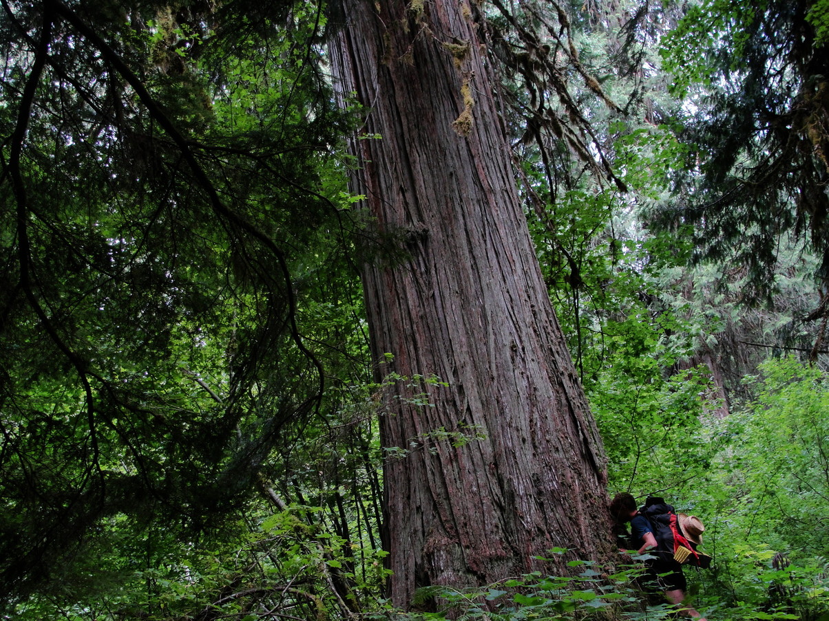
Even though the hike felt tedious, I loved walking through some beautiful strands of old cedars.


I stopped for lunch after a climb up to Beaver Pass, where there was an old AT-style shelter. Clouds were converging overhead and the woods here felt eerie and uncomfortable. I didn’t stay for long, opting instead to power down the steep switchbacks toward Little Beaver Creek.
At the bottom of the climb, I was determined to save a mile of walking by taking an unofficial shortcut marked on the PNT map. The shortcut took me through the Stillwell campground (C759) and ended abruptly at Little Beaver Creek. I stood on the side of the creek for a while, watching the white water gushing past and looking for a spot to cross. The only option I saw was a series of huge logs suspended about 5 feet above the creek.
I bushwhacked my way over to the biggest log and climbed up onto it, attempting to swallow my fear as the creek raged below me. The top of the log was thankfully dry and grippy. My legs shook as I made my way across. I held my hiking poles out to the sides for extra balance and tried not to look down. I jumped off into the chest-high brush on the other side with relief. I’d conquered my fear of balancing over a raging creek on a log. It felt like a victory to me.
After dropping back to the creek to get some water, I made my way up to the trail and abruptly went off to dig a hole. The forest floor was light and humusy, laced with white mycelium threads and covered in a thick layer of moss. I felt safe here; the trees were tall and old and inviting. The sun was out now, but the light barely reached the forest floor.
The trail ahead wandered in and out of this old forest for 6 miles – occasionally, the trees ended abruptly and I was hiking through a field of scratchy chest-high brush. By the time the switchbacks toward Whatcom Pass started, I was already feeling exhausted. I remember that I was extremely thirsty, but I refused to stop for a second to pull my water bottle out of my pack. The grueling, 1.7-Steep climb felt like it took all of my energy.

To my relief, a cold spring was still running at the top of the climb, right before the side trail that would take me to my campsite. I filled up my Platypus and moved on even slower than before. The 4 extra pounds of water weighing on my pack made its frame squeak and flex with every step.
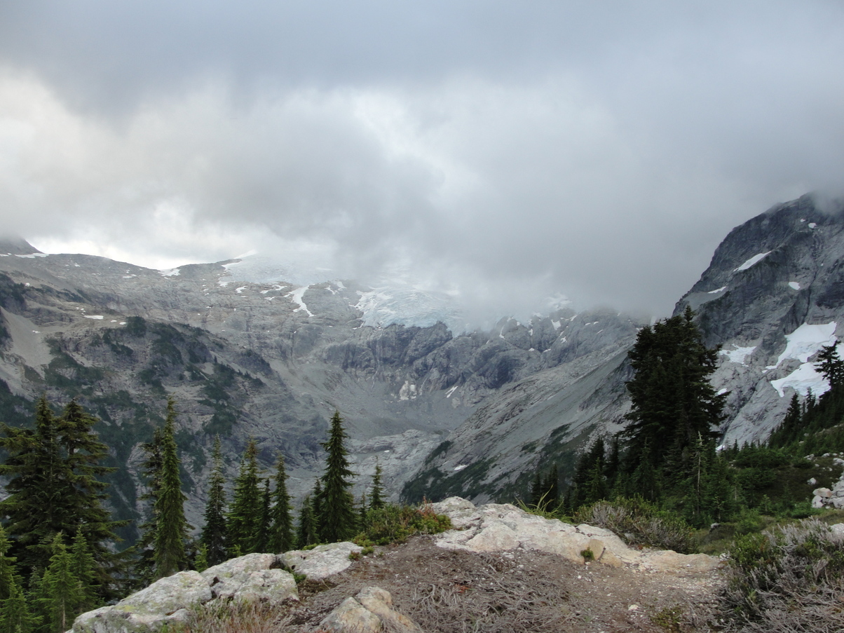
Arriving at the campsite washed away all of my exhaustion. I came over the crest of a small hill for a magnificent view of Challenger Glacier. The blue-tinted ice reflected specks of sunlight, and for the first time I could see a full view of the river valley I had just hiked through.
I set up my tent a little lower in a little grass patch protected by a half-ring of firs, then brought my sleeping pad back up to the hill to stretch and cook dinner. Clouds converged overhead, partially obscuring my view. After I finished eating dinner, the air was chilly enough for me to be uncomfortable, so I retreated to my tent.

