The Alps
My morning descent down the western side of Anderson Mountain offered a couple glimpses of Mount Baker, the volcano that had followed me for hundreds of miles. Navigation was a little challenging, but there were some rare blazes marking the correct path. I listened to some episodes of My Brother, My Brother, And Me that I had saved on my phone in order to provide some entertainment on the endless dirt road surrounded by endless Douglas Firs.
I was quite thirsty by the time I made it down to the road, and couldn’t find a place to fill up, so I stopped at a nearby bar to ask for water. The bar owner chatted me up while she let me use the spigot – she was very curious about the PNT and what I was doing. I thanked her profusely for the water and moved on.
Another up, another down. I wandered along the main drag in Alger until I found the mysterious gate I was looking for, described in the trail guide as “just east of the first house that you come to after a break in the forest”. This was my trail up to the Alger Alp.
Unfortunately Alger Alp is not quite as impressive as one would hope based on the name. After a nondescript up and down on another dirt road surrounded by trees, in earshot of the roaring I-5, I made it to a small lake. The trail guide primed me to expect a spigot in this area, but I found none. I had been relying on it to fill up again, so now I was thirsty with no water in sight but the fairly-dirty-looking pond water. I met someone sketching the pond and asked them if they knew of any spigot around; they told me they come up here multiple times a week and there has never been a spigot.
So I trekked on. I had a short, hot road walk to take me under I-5. Shortly after the underpass, I saw a government building, the Samish Water District office. Might as well try. There was no spigot to be found, so I knocked on the locked glass door.
Someone let me in when I explained that I was looking for water, people in the office beheld me with wide eyes and stares. The main secretary was kind enough to fill up my disgusting beat-up SmartWater bottles from their office water fountain, and I got out of there as fast as possible.
A series of confusing turns led me off of the paved road, onto a dirt road, and then onto a small hiking trail. The PNT would lead me through the Chuckanut Mountains (more like hills) and up to Oyster Dome, where I planned to camp at Bugs’s recommendation.
The trails were well-marked here and the woods were very beautiful, filled with old trees and those large prehistoric-looking sword ferns. There was that faint, sweet smell of rot or decay that I had noticed a week earlier while I was hiking around Baker Lake. The other prominent smell in the area was the thick detergent stench of day hikers and trail runners. I passed a lot of incredibly clean-looking people and felt slightly jealous – my last shower had been in Concrete, and I knew I couldn’t expect one until I made it to the Happy House (a trail angel house in the Puget Sound) in a few more days.
I greatly enjoyed my evening hike in these woods. It was a refreshing break from wide dirt roads, but I knew I still had a lot of roadwalking ahead of me: Over the next 100 miles, almost 80 of them would be on roads.
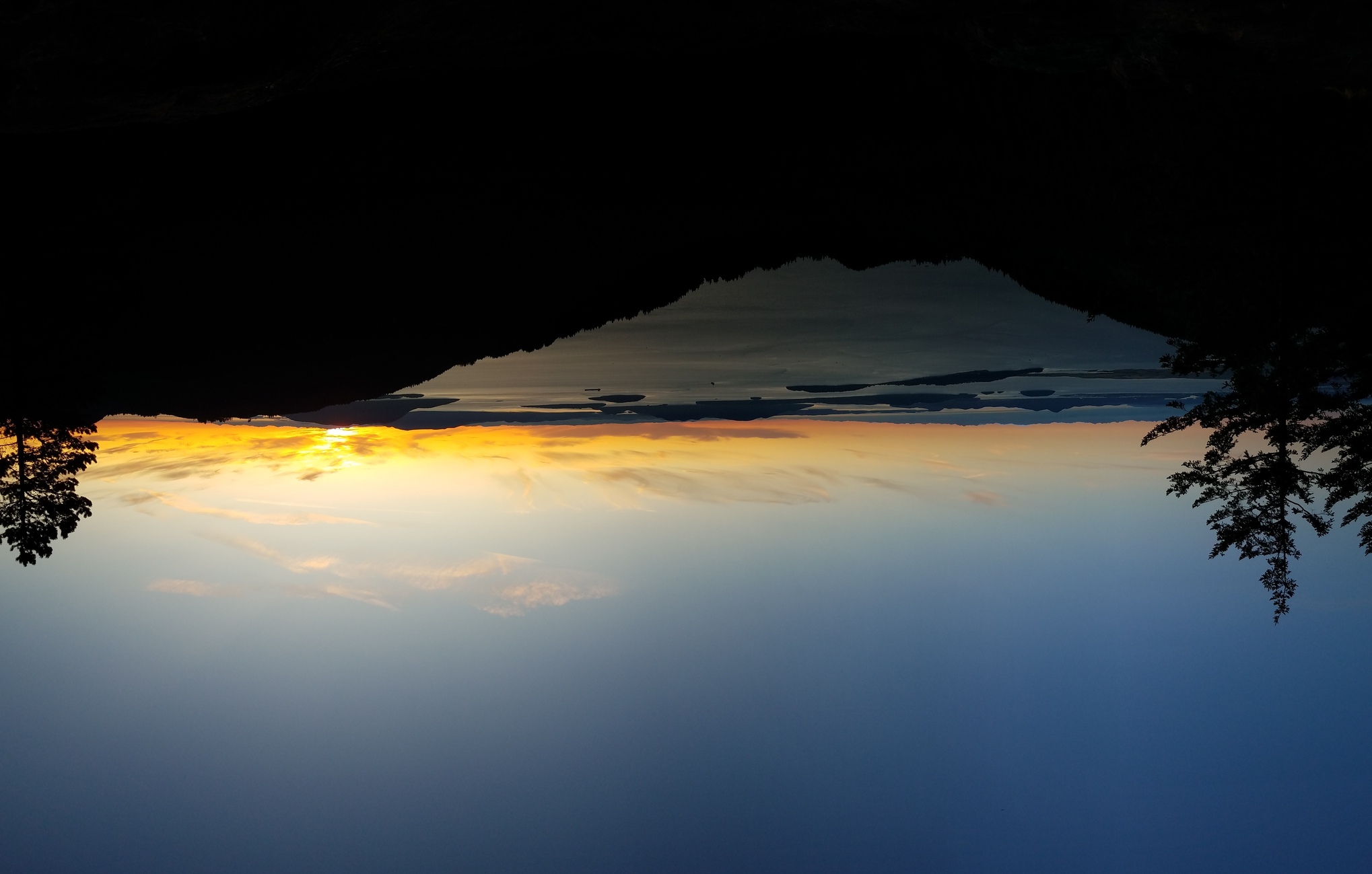
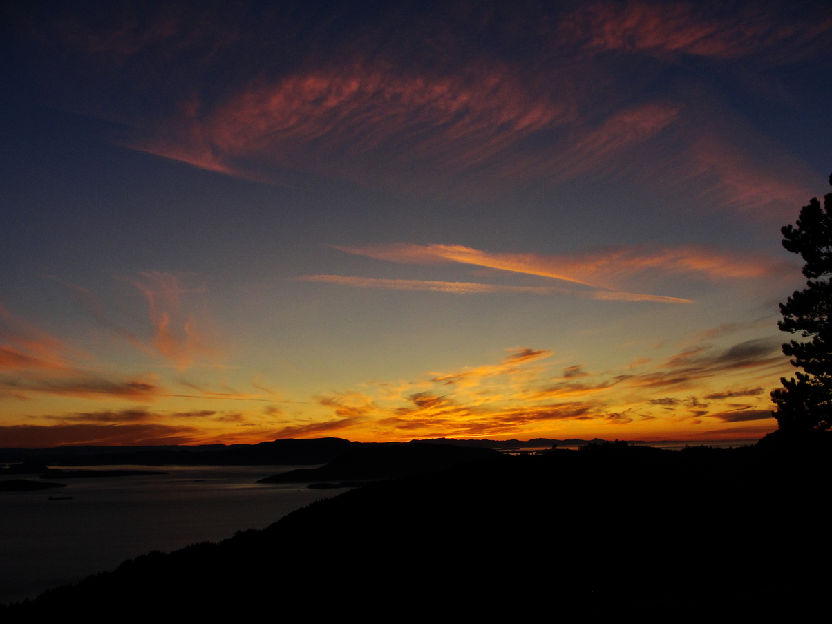
I camped out that night at Oyster Dome, a beautiful lookout over the bay. I wasn’t sure if it was legal to camp there, but I set up quietly in the woods while a bunch of couples arrived two-by-two to watch the beginning of the sunset. Once it got toward dark, I had the place to myself to watch the fireworks.


