Airstrip
I ate a chilly breakfast in the shadow of Sheep Mountain, watching the sunlight crawl down the hills ahead of me. I wanted to wait long enough for the sun to dry some of the condensation off of my tent, so I took my time and sat in the meadow for a while. I took some cold water from a stream flowing through the meadow and gravity-filtered it by hanging the filter bag from my tent.
I eventually grew impatient and packed up my sopping-wet tent, heading up the hill into the burnt forest ahead. The trail was very unclear and I very quickly took a wrong turn on another unmarked, un-mapped trail over Sand Ridge. I made it up to the top of that ridge before I suspiciously checked my compass and found that I was heading southeast instead of northwest.
A quick turnaround put me back on track after. With a bit more trail guesswork, I managed to avoid a couple more navigational pitfalls and made it up the side of Quartz Mountain.
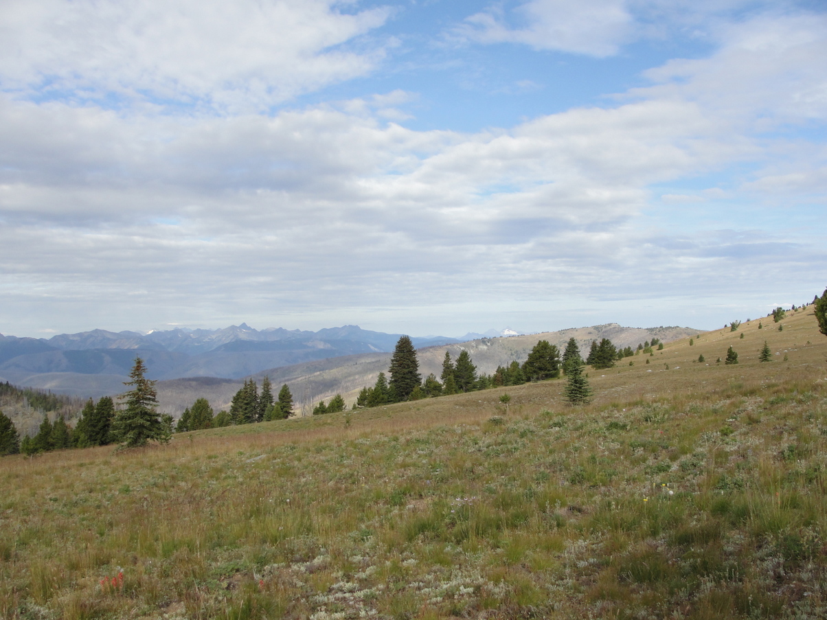
The trail crossing the bare meadow here was little more than a series of cairns placed every 200 feet or so. The wide-open view gave me my first glimpse of the Cascades: A distant horizon filled with spiky, glacier-dotted mountaintops. The mountains looked huge and daunting. Far in the distance to the west, a singular snow-white dome stood in contrast to the jagged mountains around it. This was Mount Baker, a mountain that I would catch my last glimpse of 400 miles later in the Olympic Peninsula.
That would be my last big view for the day – the descent from the ridge took me into forest that had burned in 2017. Luckily, trail crews had been working on the section all summer, so fresh log cuts guided me just as much as cairns and the faint, charred trailbed. Navigation was still difficult, but at least I didn’t have too many downed trees to worry about. PNT hikers from the previous year had nightmare stories about navigating through this forest.
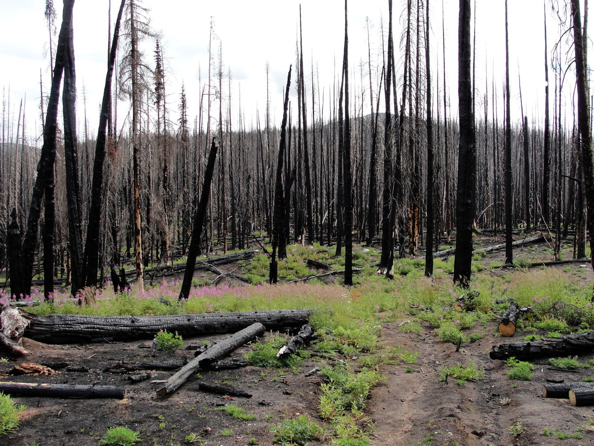
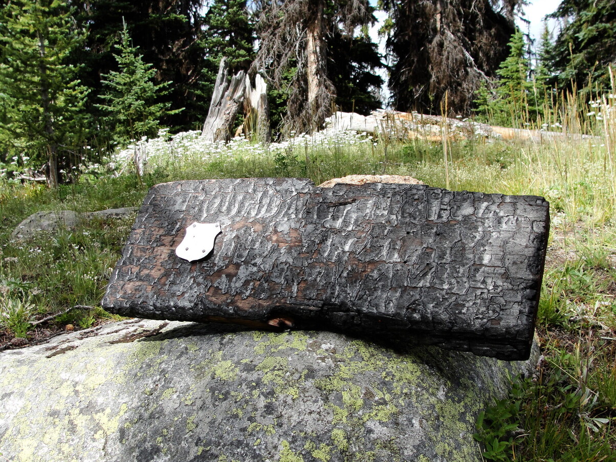
A thick gray cloud sheet covered the sky as I wound my way down through the charred forest. About a mile before I made it to the Pasayten River (0670P) the trail worked suddenly stopped and I had a prolonged obstacle course of downed trees to scramble over.
The creek crossing (W670) was particularly challenging – the bridge had collapsed and I had to climb my way through a massive tangle of trees right on the other side. I was getting pretty tired and grumpy, and I decided to take a break afterward to filter some water and have lunch.
The water in the Pasayten River was pretty low, so the crossing was easy. It was a bit tough to catch the trail on the other side, but a faint trail of plastic ribbons pointed me in the right direction. The post-lunch midafternoon slump hit me pretty hard; I counted the creek crossings as I passed them, but each time I would forget which number I was actually on and check my map again, then realize I had only crossed 2 creeks instead of 3… and so on.
I crossed the forgotten, overgrown Pasayten Airstrip around 6:00. I had some time, but I didn’t really have a solid plan for camping that night. I plowed on ahead alongside Soda Creek.
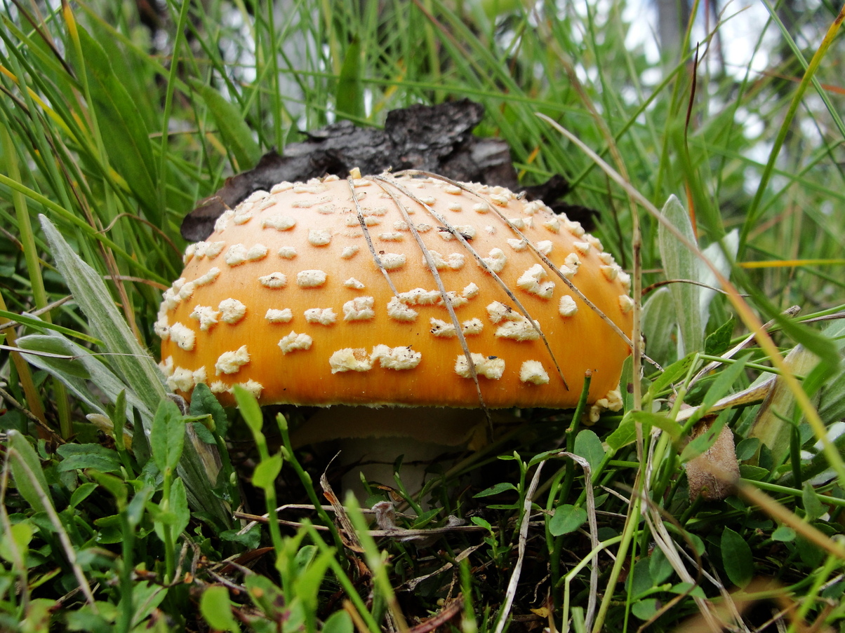
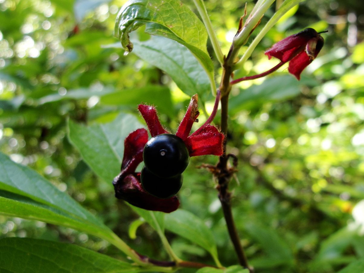
The trail was really rough here – the forest hadn’t burned recently, but it seemed like it was dying for some reason. There were old downed trees everywhere, which made it feel kind of sad and eerie. There were some huckleberry bushes lining the path, which made for some good drive-by picking.
My trail guidebook alluded to a possible good campsite that could be found by backtracking a bit on the primary route after the junction (C680), so when I made it there, I decided to try finding a good spot. My hopes were soon dashed. The trail on the primary route was absolutely decimated by downed trees. A nearly-impassable tangle of trees and branches slowed me down to a crawl. I wasted about half an hour going in, trying to find the campsite, failing, and backtracking again.
The sun was noticeably setting, and I didn’t have much time left. I continued back along the side of the creek, desperately looking for flat spots along the side of the trail. There was nothing – the forest was incredibly thick with old trees and woody undergrowth. It felt like the woods were closing in around me, like I wasn’t supposed to be there.
It took another mile and a half of hiking before I was able to find a flat spot next to a creek crossing, just barely big enough for my tent. I didn’t feel comfortable in these woods and I felt strangely exposed. I set up as fast as possible and ate a quick mashed potato dinner before stretching and going to bed.