Features Creatures
When I turned on my phone to check the trail guide’s notes for the day, I noticed that the black spot had swallowed more pixels in the top-right corner of the screen. I knew it wouldn’t be long before my phone was unusable.
I ate a delicious breakfast of cold oatmeal with huckleberries, and set off about a half hour behind my four friends. The itinerary for the day was a long roadwalk on an alternate route, followed by a climb up to the Shedroof Divide Trail in the Salmo-Priest Wilderness.
The road walk was fairly uneventful. I stopped for water and a snack break about 6 miles in, and spent too much time admiring a little black butterfly that was sunning itself on the forest road.
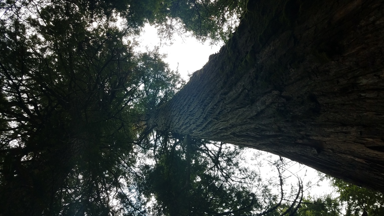
Things got a bit confusing around the Jackson Creek Trail turn-off (0309A). The trail was like an overgrown forest road for a while, but it eventually faded and became difficult to follow. With my map, compass, and a lot of guesswork, I was able to pick it up again on the north side of Jackson Creek, in a small strand of beautiful old cedar trees.


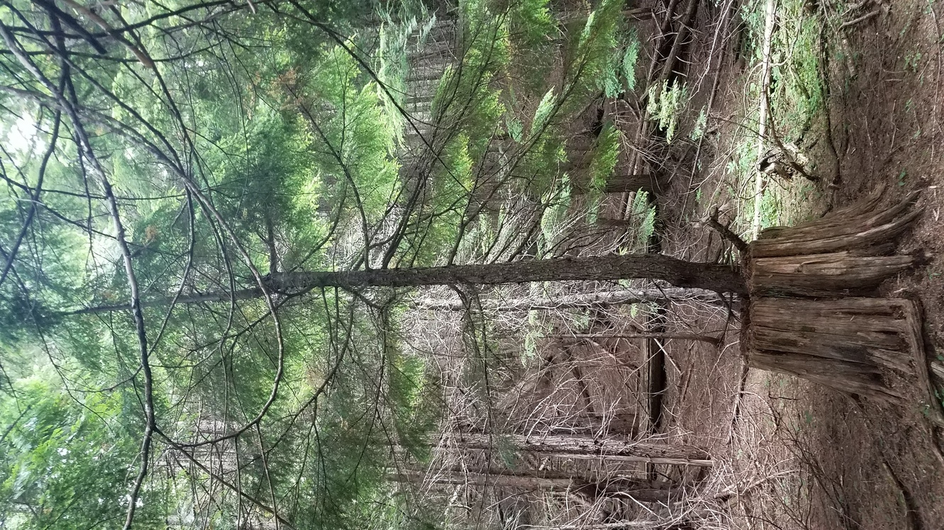
I noticed rain clouds rolling in a bit before I turned west to start the 3500-foot climb. I resigned myself to the reality that I would be getting wet again today, and started climbing through the forest. This was a dark, old pine forest with almost no plants growing on the forest floor. Just trees and an occasional patch of boletes (mushrooms which I would have loved to harvest, but wasn’t confident enough about to do so).
I think the darkness of the forest, along with the clouds looming overhead, got me kind of depressed after a while. I remember eating lunch (Peanut Butter On Tortilla) and feeling really lonely. It was quiet, and I was alone with my thoughts. As I was crossing a small wooden bridge, a noise off to my right startled me. I turned with a yelp to see Cookie Monster and Morning Star waving at me up the creek. Morning Star excitedly pulled out his GPS to inform me that we were now in Washington, and we celebrated our last state-line crossing together.
I left them to their lunch, and continued up. As the trail neared the top of the ridge, the forest changed – the trees were smaller, and the brush became thicker. The rain also increased from a light drizzle to a cold soak, and I got chilly enough that I made the decision to re-layer. I stripped down in the middle of the trail, adding leggings and a long-sleeved shirt. Just as I as pulling on my rain jacket, another hiker came around the bend. I had never seen them before (and I never saw them afterward), and although they were a (rare) PNT thru-hiker, I don’t remember their name. They struck me as kind of unfriendly, or maybe they just had a lot of miles to hike. We chatted for approximately 5 seconds, and I let them pass me.
The trail became really treacherous in the last mile or so – It followed along the steep slope of the mountainside, and it hadn’t been maintained in some time. It was totally eroded and overgrown, and the plants were slippery from the rain. I slipped completely off the side of the trail twice, and had to grab hold of the brush to keep from sliding further down the slope.
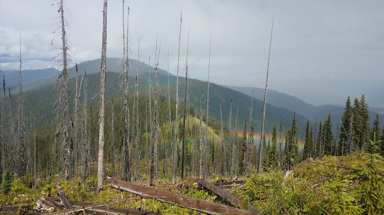
I came out of the woods to the top of the ridge (SW of 0315A) just as the clouds began to part.

The sight of the double rainbow was breathtaking. It felt so good to finally be up on the ridge. It would be smooth sailing from here – admire the views and hike south. Look for water and a spot to camp.
The ridge hike was beautiful and easy, with just enough sunlight to keep me from getting chilly. Twenty miles into the day’s hike, though, I was starting to get pretty tired. And I was totally out of water. On the descent after Round Top Mountain, I started listening to Björk’s album Utopia to keep me going.
Dehydration was really starting to hit me when I made it down to the forest road (0321A). The trail guidebook indicated that there would be water near the Pass Creek trailhead (0322A), but there was nothing… Not even an indication that there was ever a creek flowing there. The anxiety started to set in, and after 15 minutes or so of walking back and forth, I resolved to walk for another half-mile, then turn back to the forest road if I didn’t find water.
About a quarter-mile past the trailhead, I found a small trickle seeping out of a rock wall. I felt so elated, endlessly grateful for the water source. I filled up four liters there and headed up the switchbacks, setting up camp in a small tent-sized clearing.