Haze
Be sure to have plenty of water as you leave Oroville for this hot, exhausting 13-mile road walk… Our objective here should be to pound out the miles to get to Nighthawk, then past Palmer Lake, and make the climb to Cold Springs. - Tim Youngbluth’s PNT Trail Guide
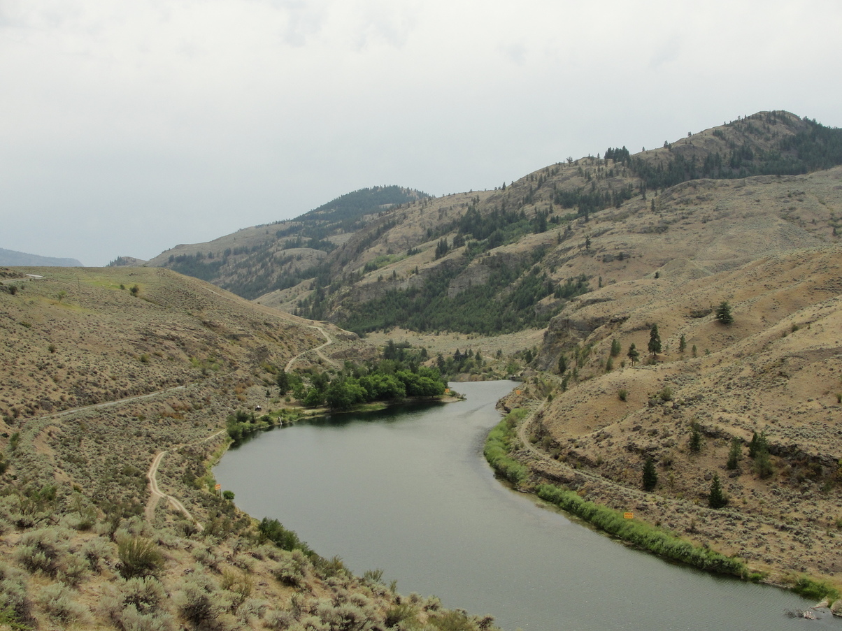
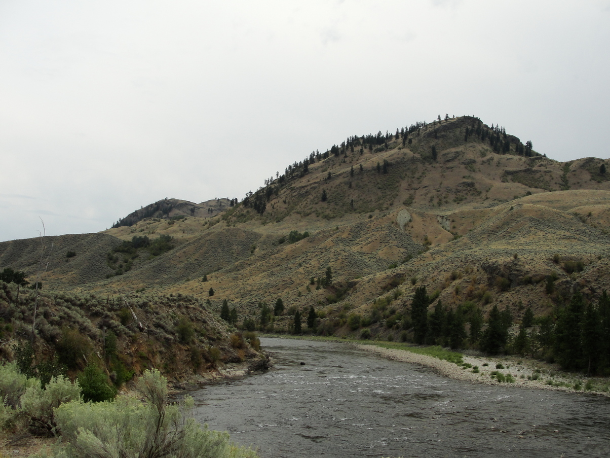
I said my goodbyes to Joseph and thanked him profusely for letting me stay in his backyard. I left town later than I had intended – I woke up feeling strangely nauseous and uncomfortable, and the uncharacteristically-overcast sky seemed to mirror my feelings. At least the hazy sky blocked out the sunlight, though, and it was a cool 80 degrees for most of the day.

The Similkameen Trail brought me out of Oroville and across the river. I followed it blindly, not realizing that I was supposed to get off the trail and start roadwalking on the opposite side of the river. To my frustration, the trail ended at a closed gate with a sign: “NO TRESSPASSING: Cattle have been grazing in this canyon for over 100 YEARS. Please be respectful of this private property.” Not only had I gone 1.5 miles out of my way, now this sign was trying to minimize the ecological devastation caused by range cattle while simultaneously justifying stolen land with the idea that 100 years is somehow a long time. Native people lived in this area for like thousands of years before your granddaddy stole it from them to dam up the river and fill it with cow shit! I indignantly backtracked to the bridge and eventually found the road that I was supposed to be hiking on.
Tim Youngbluth was right: It was a hot, exhausting road walk, but at least that I didn’t have the sun beating down on me. I started getting the familiar (and inexplicable) road-walk rash crawling up my legs, and felt strangely nauseous as the day progressed.

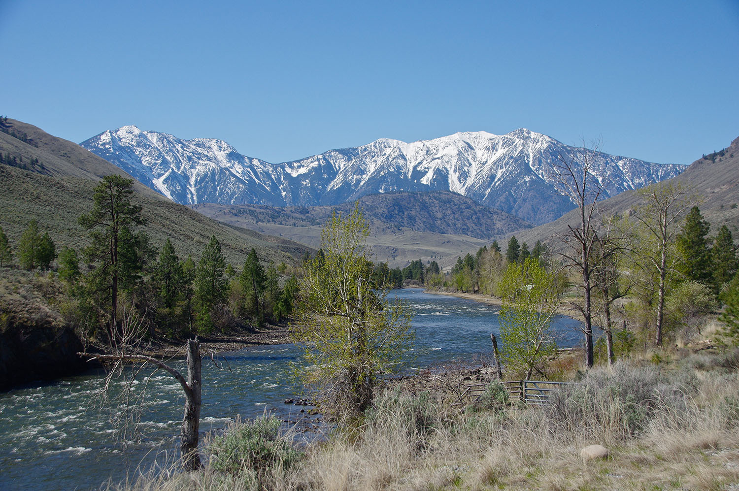
I passed by a few RV camps, some people practicing scuba diving (?) in the river, and the old ghost town of Nighthawk… and not much else. After I came around one bend of the river, the north face of Chopaka Mountain suddenly loomed ahead of me, massive and snow-capped, standing out in stark contrast from the brown, grassy hills around me. I would be climbing up out of the valley on the back side of the mountain the next day. I couldn’t wait to be out of the lowlands and up in the Pasayten Wilderness, climbing mountains again.

I had to take more and more breaks toward the evening. I still felt nauseous, my legs had huge red rashes on them, and the 8 days of food on my back was making everything worse. The last couple of miles were so painful – My feet hurt and every step felt almost unbearable. I scrambled down to the river to tank up on water. I’d be camping at Palmer Lake, and the guidebook suggested that it wasn’t a great place to fill up on water there because it was polluted from gasoline engines.
Making it to the campground was a huge relief. The first person I saw was Moose, with a half-eaten hot dog in his hand that he’d gotten from some day campers. I was so glad to see him. Bugs and Justin and Kate weren’t far away – they’d all set up camp near the shore of the lake. I had a good time eating dinner with everyone around a picnic table. The tent sites were on hard-pack ground, and it was extremely difficult for me to get my steel V-stakes in. The wind was blowing, putting even more tension on the setup. I broke one stake, and after a huge amount of frustration, I ended up holding all of my stakes down with heavy rocks.
Even though I felt frustrated, sick, and in pain, I was so grateful to have dinner with my four friends. We talked for a while at a picnic table and eventually retreated to our tents to sleep.