Surprise Brunch
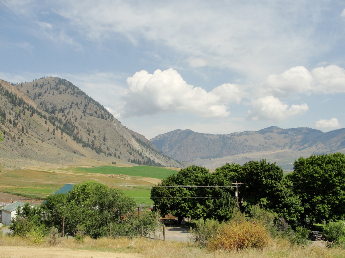
I was the first to leave the campground in the morning. The sky was still gray for the first part of the roadwalk and it threatened to drizzle, but nothing never came. The clouds parted by the time I was about 6 miles in. By that time I was out of water, and my only option was some nasty farm runoff from Sinlahekin Creek. I scrambled down under a bridge (0602P) to fill up my water bladder, then took a gorp break while I gravity-filtered it.

A woman rolled up from behind me on a sporty road bike, and stopped to ask if I was a PNT hiker. She said she’d just met Bugs and Moose, and we could all stop by her house for some (hopefully less ammonia-rich) water. She gave me directions and started up the hill, not really even waiting for a reply. The house was close, so I poured out my creek water and packed up.
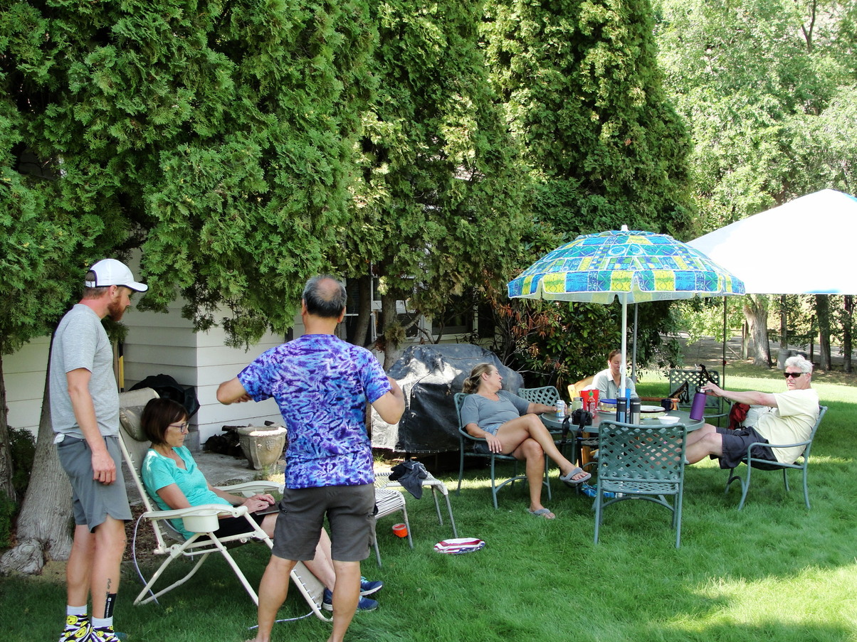
The house sat in a singular patch of green surrounded by trees. Too shy to go in on my own, I waited for Bugs and Moose to catch up to me. We knocked on the door and a stranger welcomed us in. As far as I remember, this house had been passed down through their family, and they now mainly used it as a vacation home. Four people were staying there; I think one couple and two of their friends. The scent of coffee lingered in the wood-paneled kitchen. “You guys want some coffee?” I was in no position to decline. I filled up one of my beat-up plastic bottles in their sink and sat down in a lawn chair that they offered to me.
After a few minutes of chatting, they started bringing out food for us… and didn’t stop. There were eggs and sausage, plates of fruit, orange juice, coffee, toast. Bugs, Moose, and I were in heaven. It felt like we had stumbled upon an oasis in the middle of this endless road walk.

We sat and talked and ate with our hosts for an hour, maybe an hour and a half. The sun was high in the sky when Moose and Bugs and I reluctantly decided that we should continue on. We said our goodbyes, took a few photos, and established some Facebook friendships before filling up our water, re-packing our bags, and heading out. We had a 5000-foot climb ahead of us, and I felt eager to get started.
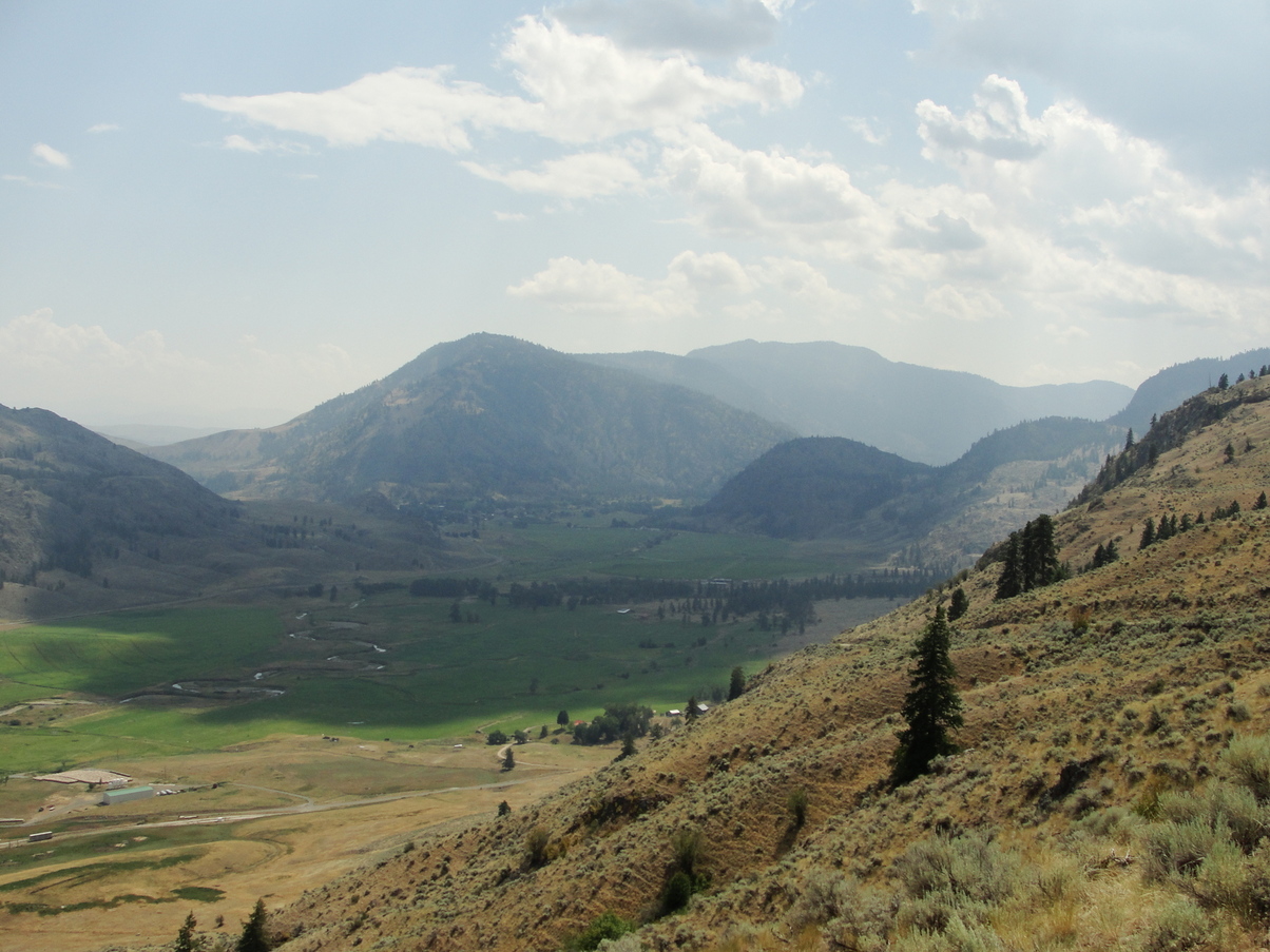
The haze was starting to clear out of the sky, and our collective mood was joyful. The dirt road took us higher and higher out of the valley on a gentle grade. I fell behind Bugs and Moose to change out of my leggings and take some photos.


The trees started to come back in patches. We ran into Justin and Kate getting water as the road passed through one small strand of pines. I think one of them was feeling pretty sick, so they were sort of taking an extended break. We all planned to camp at the Cold Springs campsite. I set off knowing I’d at least be camping with other people.
Before long, clouds started converging overhead and I heard rumbles in the distance. As the road came around a switchback, I looked for my turn-off on a faint jeep trail and checked my guidebook.
From here toward Cold Springs the road becomes a maze of fading old road and cow paths... Follow the jeep trail north and uphill for only about 300 yards, gaining another 130' elevation, and look for the faint jeep trail that diverts to the northwest while the jeep trail keeps north uphill. You're on the right track if you are on the edge of the tree line and cross evidence of a seasonal creek. If your navigation fails, just head west through the trees to find the trail (old forest road) leading northwest.
I climbed over a rotting wood fence held together with rusty wire and began trying to track the “correct” path through the cow pasture. Cow paths veered off in every direction. I ended up heading way too far north into the open field, then overcorrected toward the west and ended up in thick forest, caught between brambles and barbed wire. I determined that I needed to head north, so I bushwhacked in that general direction and made it to an unmarked road. I had now been off the trail for about an hour, and the sounds of thunder were getting closer.
I found the “old jeep trail” again, which was really just a less-wooded uphill stretch of cow-munched grasses dotted by thimbleberry and raspberry bushes. It would have been undetectable if I wasn’t specifically looking for it. This took me back to a wide gravel forest road (0612P), and I had only two miles to go.
The campsite was thankfully fenced off from the cattle and surrounded by a dark forest of tall pine trees. To my surprise, Bugs, Moose, Justin, and Kate had beaten me there – they accidentally missed the turn-off to the jeep road, instead following a gravel forest road directly to the campsite and bypassing all of the navigation challenges. I’m not sure why the PNT route had to be so difficult!
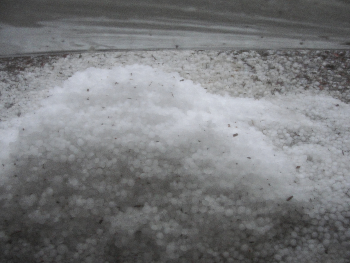
The rain started coming down a few minutes after I made it to the campsite. I set up my tent on some soft pine needles, ate a hasty dinner of mashed potatoes under the shelter of a pine tree, and booked it to my tent just as the rain turned to hail.
I was welcomed into the Pasayten Wilderness by the sound of ice pelting my tent. Back to the unpredictable mountain weather. Even so, I was glad to be back in the mountains. I couldn’t wait for the hike ahead.
