Tungsten Mine
The previous night’s storm left puddles around our campsite. Bugs and Moose had to get up and move their tent at some point. I happened to be set up on a small mound, which saved me from getting too wet.
We all used the USFS pit toilet in succession. I hung back to squeeze-filter some spring water. The spring was cool and clear, the freshest mountain water I’d had in weeks. It was sprinkling a bit, but once I got moving the moisture evaporated off of my rain jacket quickly enough to maintain a dampness equilibrium.
The Chopaka Mountain Trail took me through a nondescript cattle-infested fir forest south of Disappointment Peak (?) to find the Goodenough trail (??). I was looking forward to reaching the wilderness boundary, where hopefully I’d make it out of cow territory.
I caught up to the others at the base of Goodenough Peak. The guidebook directions and signage were incredibly unclear, and it took a bit of discernment to find the right direction. It became obvious when we started climbing. The trail immediately opened up into grassland with a grand view of our gorgeous surroundings.
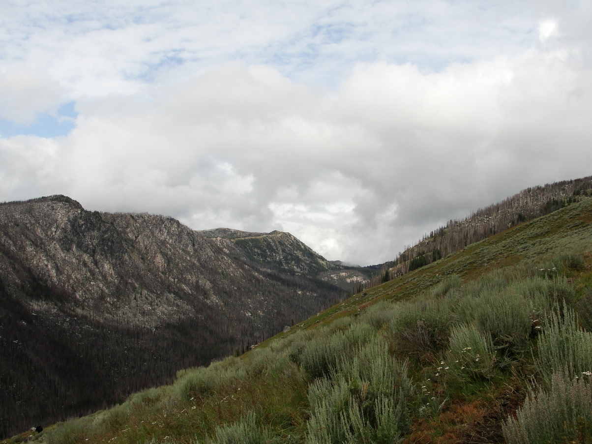
I climbed up and up the side of the mountain on crisscrossing maze of cow paths, leapfrogging the other hikers multiple times, getting lost, and eventually bushwhacking up the side of the mountain to converge with Bugs and Moose near the top. Our collective mood climbed noticeably higher as we gained altitude. It really felt like we were back in the mountains now.
After I passed a cattle gate at the Pasayten Wilderness boundary, the flora changed immediately – Where previously the undergrowth had been thoroughly cattle-munched, the forest floor was now covered in wildflowers. This section of the forest had seen a light burn in 2015, so the wildflower growth was especially impressive. I ran down the side of Goodenough peak giddily and light-jogged for about half a mile until I lost my footing on a downhill. I went face-first and slammed my knee on a rock, removing a patch of skin and tearing a hole in my leggings. Dumb. I removed my backpack so that I could roll around in pain for a while, then decided I would clean out the wound and patch it up at the next water source.
I reached a small spring (W623) that wound down through the ghostly burned forest into a marsh. I decided I would take a lunch break there. I filtered some spring water, flushed out my cut with a syringe, then bandaged up with some Neosporin and a transparent bandage. Justin, Kate, Bugs, and Moose caught up after a while, and I was grateful for their sympathy.
My knee lucklily felt fine to walk on, so there was no reason to change my plan. I was hoping to sleep in an old mining cabin mentioned in the trail guidebook, and I still had 15 miles to go.
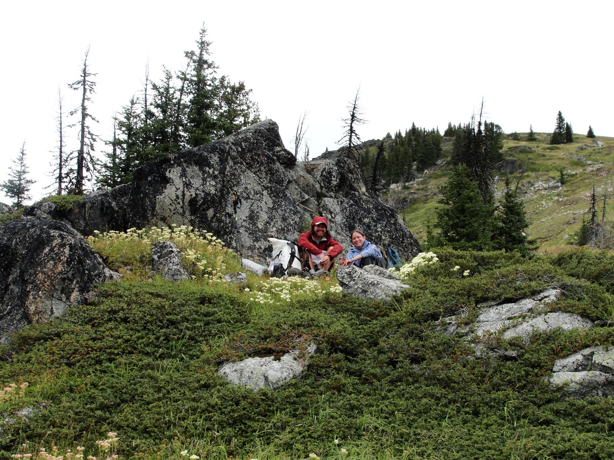
I eventually found my way to the Boundary Trail, which I’d be hiking for the next 100 miles or so. It wound its way gently through gorgeous alpine meadows dotted with wildflowers and splotched with lichen-encrusted boulders. The trail barely changed elevation, simply following the contour line. The meadows afforded beautiful views to the south. Crystal-clear mountain springs cut through the grass, draining into little boggy bowls. This felt like the “dessert” of long-distance hiking after weeks of grueling roadwalks, warm cow-shit water, and dusty lowlands.
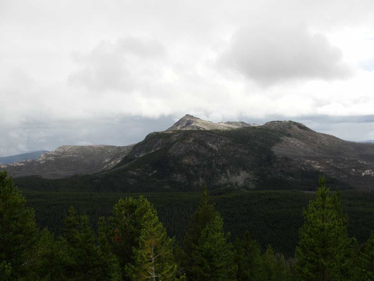
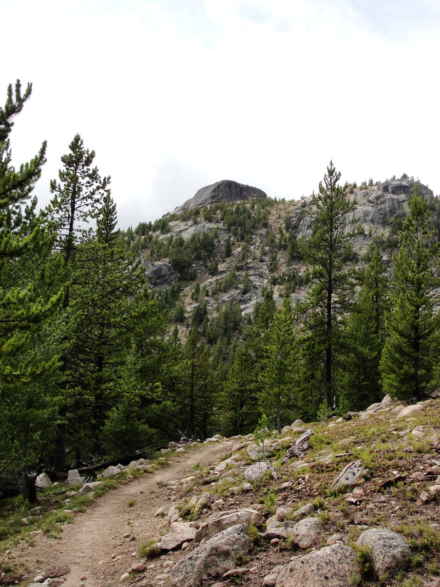
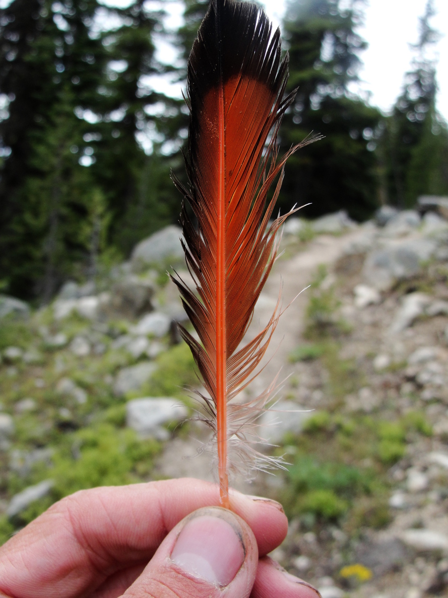
The rest of the day’s hike was physically difficult but mentally easy. My feet felt tired, but I found myself constantly distracted from the pain by the beauty of my surroundings.
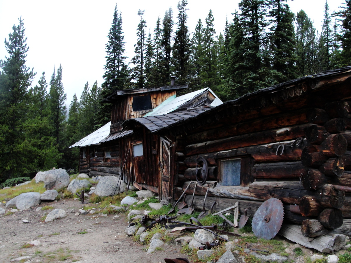
I made it to the Tungsten Mine camp around 6:45. It was getting pretty chilly - Typically you lose about 3.5 degrees Fahrenheit for every 1000 feet of elevation, so at a baseline it was about 21 degrees colder than in Oroville. I inspected the larger lower cabin first. It was adorned by bits of rusty old mining gear. The floor inside was totally covered in mouse droppings and slanted at an alarming angle.
The upper cabin looked like it had been maintained more recently. Inside, there were 4 or 5 bed platforms surrounding a large woodstove. The walls were covered in decades of graffiti. Someone had left a printout in the cabin detailing the history of the Tungsten Mine from the firsthand perspective of a person who had worked there in the 1910s (I think it was from the book Discovering Washington’s Historic Mines Vol. 3). I sat for a while reading in silent awe of the engineering feats and working/living conditions that it described. All of the miners stayed together in the lower cabin, and in the winter they built a massive snow road all the way from Nighthawk so that all of the machinery could be pulled up to elevation.
Bugs and Moose showed up not long after. We ate dinner and staked out our sleeping platforms, hung our packs out of rodent reach, and drifted off to sleep. I was rudely awoken a few times throughout the night by mice running across my legs.